
Country Belgium Area codes 09 Area 46.76 km² Area code 09 | Community Flemish Community Postal codes 9770-9772 Website www.kruishoutem.be Local time Saturday 1:21 PM | |
 | ||
Weather 13°C, Wind W at 21 km/h, 87% Humidity Governing party Christen-Democratisch en Vlaams | ||
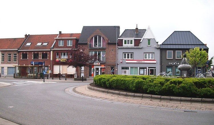
Kruishoutem ( [ˌkrœy̯sˈɦʌu̯tɛm], in French and English Cruyshautem) is a municipality located in the Belgian province of East Flanders. The municipality comprises the towns of Kruishoutem proper, Nokere and Wannegem-Lede. On January 1, 2011, Kruishoutem had a total population of 8,140. The total area is 46.76 km² which gives a population density of 174 inhabitants per km².
Contents
Map of Kruishoutem, Belgium
The SONS Museum is located in Kruishoutem.
Sister cities
References
Kruishoutem Wikipedia(Text) CC BY-SA