
Time zone CET/CEST (UTC+1/+2) Area 3.51 km² Postal code 55767 Dialling code 06787 | Elevation 300 m (1,000 ft) Postal codes 55767 Local time Saturday 12:21 PM Population 341 (31 Dec 2008) | |
 | ||
Weather 7°C, Wind SW at 26 km/h, 91% Humidity | ||
Kronweiler is an Ortsgemeinde – a municipality belonging to a Verbandsgemeinde, a kind of collective municipality – in the Birkenfeld district in Rhineland-Palatinate, Germany. It belongs to the Verbandsgemeinde of Birkenfeld, whose seat is in the like-named town.
Contents
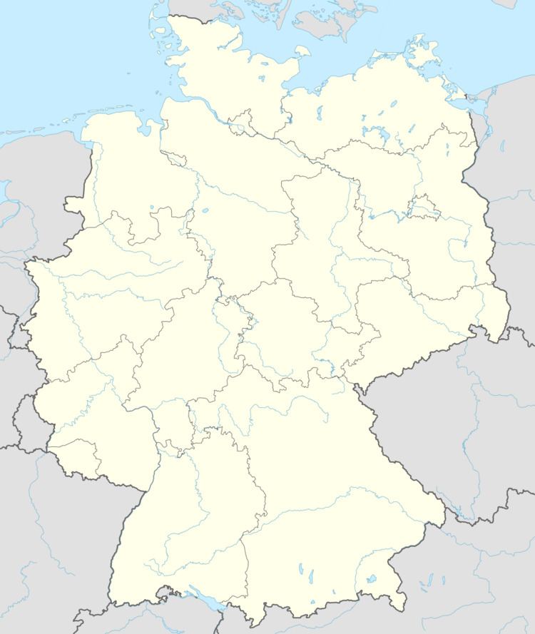
- Map of 55767 Kronweiler Germany
- Location
- Constituent communities
- History
- Municipal council
- Coat of arms
- Buildings
- Transport
- References
Map of 55767 Kronweiler, Germany
Location
The municipality lies on the upper reaches of the river Nahe in the southwestern Hunsrück. Within the municipality, the Schwollbach, which flows down from the Idar Forest empties into the Nahe.
Constituent communities
Also belonging to Kronweiler are the outlying centre of Hangelbösch and the homestead of Alte Schleife.
History
In 1360, Kronweiler had its first documentary mention. It was part of the “Hinder” County of Sponheim.
Municipal council
The council is made up of 8 council members, who were elected by majority vote at the municipal election held on 7 June 2009, and the honorary mayor as chairman.
Coat of arms
The German blazon reads: Unter rot-silbern geschachtem Schildhaupt in Blau ein silberner Wellenschrägbalken, darüber eine goldene Krone.
The municipality’s arms might in English heraldic language be described thus: Under a chief countercompony gules and argent azure a bend wavy to dexter of the second above which a crown Or.
The arms have been borne since 1964.
Buildings
The following are listed buildings or sites in Rhineland-Palatinate’s Directory of Cultural Monuments:
Transport
Running by to the northwest is Bundesstraße 41, and to the south, the Autobahn A 62 (Kaiserslautern–Trier). Kronweiler also has a railway station on the Nahe Valley Railway (Bingen–Saarbrücken).