
Time zone CET/CEST (UTC+1/+2) Area 10.72 km² Local time Saturday 11:56 AM Dialling code 03643 | Elevation 200 m (700 ft) Postal codes 99441 Population 1,588 (31 Dec 2008) Postal code 99441 | |
 | ||
Weather 9°C, Wind W at 40 km/h, 82% Humidity | ||
Kromsdorf is a municipality in the district of Weimarer Land in Thuringia, Germany. It was part of the Verwaltungsgemeinschaft Ilmtal-Weinstraße until 31 December 2013. It borders on Weimar (quarters Süßenborn and Tiefurt), and is situated northeast of the city, not far from Schloss Tiefurt, on both banks of the river Ilm.
Contents
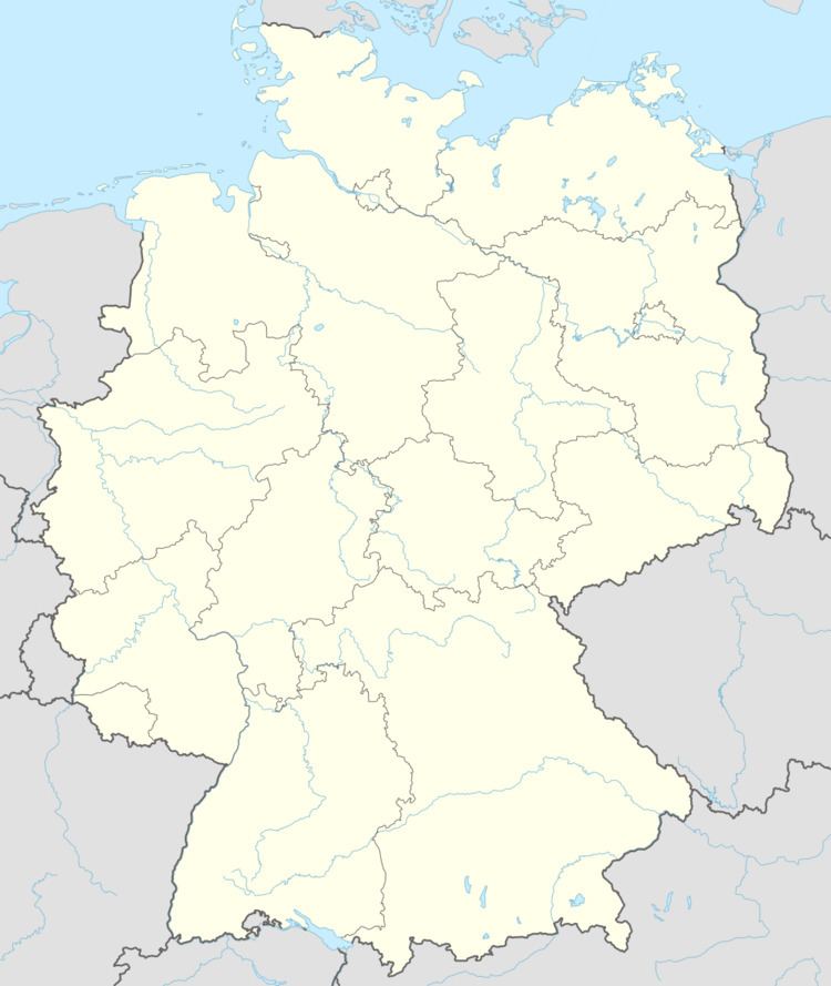
Map of Kromsdorf, Germany
Structure
Kromsdorf consists of the settlements Kromsdorf-Nord (formerly Großkromsdorf) on the left bank of the Ilm, Kromsdorf-Süd (formerly Kleinkromsdorf) on the right bank, and Denstedt.
Places of interest
Sports
References
Kromsdorf Wikipedia(Text) CC BY-SA