
Demonym(s) Krimpenaar Postcode 2920–2926 Local time Saturday 8:47 AM Area code 0180 | Elevation −1 m (−3 ft) Time zone CET (UTC+1) Area 8.93 km² | |
 | ||
Website www.krimpenaandenijssel.nl Weather 11°C, Wind W at 31 km/h, 92% Humidity | ||
Krimpen aan den IJssel ( [ˈkrɪmpə(n) aːn dɛn ˈɛisəl]) is a town and municipality in the western Netherlands, in the province of South Holland. The municipality had a population of 28,870 in 2014, and covers an area of 8.95 km2 (3.46 sq mi) of which 1.15 km2 (0.44 sq mi) is water.
Contents
Map of Krimpen aan den IJssel, Netherlands
History
Krimpen is first mentioned in a document from 1277. Like other hamlets, many different spellings of its name have occurred over time, among which the name Tingenijssel deviated the most from today's spelling. The municipality is on the south shore of the river Hollandse IJssel. For many centuries, the only buildings in Krimpen were farm houses built along the river dike. They formed more or less autonomous communities along the dike.
Before the 20th century, the two principal industrial employers were the brick factory Mijnlieff and the shipyard Van der Giessen de Noord.
In the beginning of the 20th century development began inland from the river dikes, and the municipality began to lose its agricultural character.
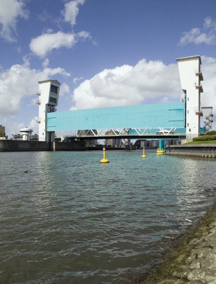
During the North Sea flood of 1953, the tidal barrier in the river IJssel proved to be inadequate. So in 1954 construction started on a new storm surge barrier, the first installation of the Delta Works. In 1958 it was completed together with the Algera Bridge which connects Krimpen with Capelle aan den IJssel.
In the mid 1960s, Krimpen became a commuter town for people working in Rotterdam, resulting in major expansion. Today most of the municipality has been built up, except for the Krimpenerwaard where the town council aims to retain the rural character.
Public transport
Dutch Topographic map of the municipality of Krimpen aan den IJssel, June 2015