
Coat of arms Flag rural settlement 10 Area 691.6 km² | Administrative center selo of Krasnye Chetai Rural localities 70 | |
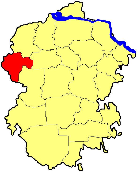 | ||
Krasnochetaysky District (Russian: Красночета́йский райо́н; Chuvash: Хĕрлĕ Чутай районĕ) is an administrative and municipal district (raion), one of the twenty-one in the Chuvash Republic, Russia. It is located in the west of the republic and borders with Yadrinsky District in the north, Morgaushsky District in the east, Alikovsky and Shumerlinsky Districts in the south, and with Nizhny Novgorod Oblast in the west. The area of the district is 691.6 square kilometers (267.0 sq mi). Its administrative center is the rural locality (a selo) of Krasnye Chetai. Population: 16,941 (2010 Census); 21,117 (2002 Census); 24,589 (1989 Census). The population of Krasnye Chetai accounts for 15.5% of the district's total population.
Contents
Map of Krasnochetaysky District, Chuvashia Republic, Russia
History
The district was formed on September 27, 1944.