
Local time Saturday 4:33 PM | ||
 | ||
Weather 4°C, Wind S at 14 km/h, 90% Humidity Voivodeship Warmian-Masurian Voivodeship | ||
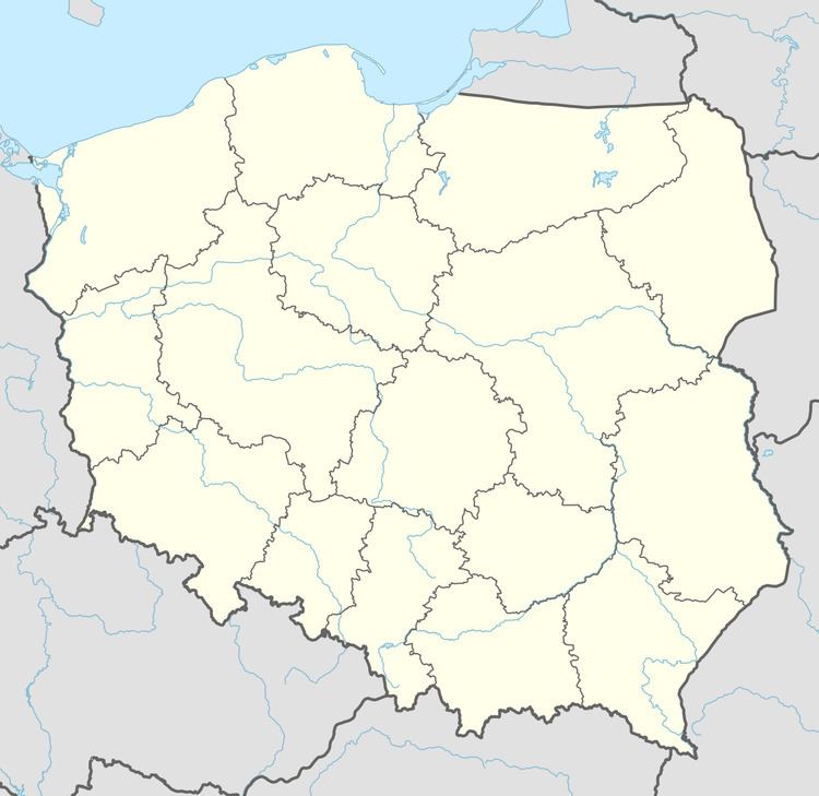
Królowa Wola [kruˈlɔva ˈvɔla] (German: Krolowolla; 1926-1945: Königswalde) is a village in the administrative district of Gmina Stare Juchy, within Ełk County, Warmian-Masurian Voivodeship, in northern Poland. It lies approximately 8 kilometres (5 mi) south-east of Stare Juchy, 10 km (6 mi) north-west of Ełk, and 117 km (73 mi) east of the regional capital Olsztyn.
Map of Kr%C3%B3lowa Wola, Poland
Before 1945 the area was part of Germany (East Prussia).
References
Królowa Wola, Warmian-Masurian Voivodeship Wikipedia(Text) CC BY-SA