Country Poland Seat Stare Juchy | County Ełk Area 196.6 km² | |
 | ||
Voivodeship Warmian-Masurian Voivodeship | ||
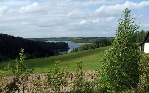
Gmina Stare Juchy is a rural gmina (administrative district) in Ełk County, Warmian-Masurian Voivodeship, in northern Poland. Its seat is the village of Stare Juchy, which lies approximately 17 kilometres (11 mi) north-west of Ełk and 111 km (69 mi) east of the regional capital Olsztyn.
Contents
Map of Gmina Stare Juchy, Poland
The gmina covers an area of 196.55 square kilometres (75.9 sq mi), and as of 2006 its total population is 4,006 (3,969 in 2011).
Villages
Gmina Stare Juchy contains the villages and settlements of Bałamutowo, Czerwonka, Dobra Wola, Gorło, Gorłówko, Grabnik, Jeziorowskie, Kałtki, Królowa Wola, Laśmiady, Liski, Nowe Krzywe, Olszewo, Orzechowo, Ostrów, Panistruga, Płowce, Rogale, Rogalik, Sikory Juskie, Skomack Wielki, Stare Juchy, Stare Krzywe, Szczecinowo and Zawady Ełckie.
Neighbouring gminas
Gmina Stare Juchy is bordered by the gminas of Ełk, Orzysz, Świętajno and Wydminy.
