
 | ||
Kule mista kozyata
Kozyatağı is a neighbourhood of Kadıköy one of the districts of Istanbul. It is to the East of Göztepe west of Bostancı south of Ataşehir and north of the coastal neighbourhoods.
Contents
- Kule mista kozyata
- Map of KozyataC49FC4B1 Mahallesi 34742 KadC4B1kC3B6y2FC4B0stanbul Turkey
- Kozyata carrefour dan ekerevler e u u
- Transport
- Surroundings
- References
Map of Kozyata%C4%9F%C4%B1 Mahallesi, 34742 Kad%C4%B1k%C3%B6y%2F%C4%B0stanbul, Turkey
Kozyata carrefour dan ekerevler e u u
Transport
The M4 and the planned M9 metro lines run through Kozyatağı, along with many bus and minibuses. It is also easily accessible by the D-100 highway. Kozyatağı is landlocked, but ferries in Kadıköy and Bostancı can be reached easily.
Surroundings
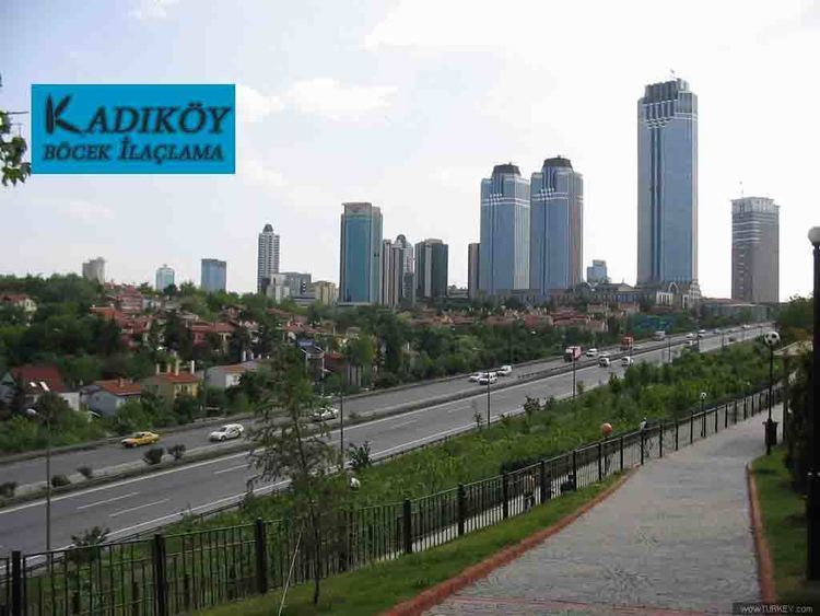
The area consists of mainly residential apartments along with many commercial towers and plazas. High rise building are not common in the Anatolian side except Kozyatağı, Ataşehir and a few more areas. There are also lots of parks and green areas along with a shopping mall.
References
Kozyatağı Wikipedia(Text) CC BY-SA