Licence plate 15 Local time Saturday 3:41 AM Postal code 15110 | Time zone EET (UTC+2) Elevation 1,110 m Population 1,305 (2013) Area code 0248 | |
 | ||
Weather -2°C, Wind NW at 6 km/h, 80% Humidity | ||
Kozluca is a belde (town) in Burdur Province, Turkey.
Contents
- Map of Kozluca 15000 Kozluca KC3B6yC3BC2FBurdur Merkez2FBurdur Province Turkey
- Geography
- History
- Economy
- References
Map of Kozluca, 15000 Kozluca K%C3%B6y%C3%BC%2FBurdur Merkez%2FBurdur Province, Turkey
Geography
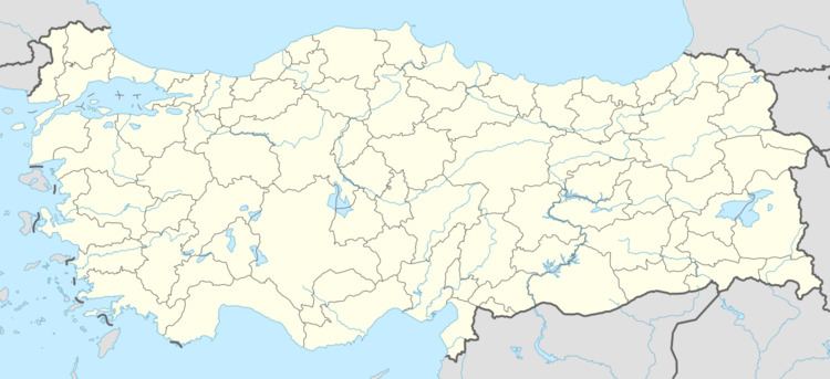
Kozluca is in Burdur central district. It situated to the south of Burdur at 37°30′N 30°08′E. The distance to Burdur is 45 kilometres (28 mi). The population of Kozluca was 1305 as of 2013.
History
The area around Kozluca was populated during the Roman Empire era. According to mayor's page the epigraph on a pedestal around the town reads the Roman Emperor honoured the governor of the town by a sculpture . Towards the end of Seljukids, the settlement was founded by Mahmut Bey of Hamidoğlu beylik (principality). Later during Ottoman Empire era, the efforts of a local leader named Gozulcalıoğlu helped to flourish the settlement and the settlement was named after him. In 1968, the settlement was declared a seat of township.
Economy
Main economic activity is cattle breeding and dairying. Daily milk production is about 12 tons. The agricultural crops are mostly fodder plants.
