
Time zone EET (UTC+2) Licence plate 50 Elevation 1,275 m Local time Saturday 3:01 AM | Region Central Anatolia Postal code 50600 Climate Csb Area 706 km² Area code 0384 | |
 | ||
Weather 0°C, Wind NW at 14 km/h, 93% Humidity | ||
Kozaklı, formerly Hamamorta, is a town and district of Nevşehir Province in the Central Anatolia region of Turkey. According to 2010 census, population of the district is 15,519 of which 7,011 live in the town of Kozaklı. The district covers an area of 706 km2 (273 sq mi), and the average elevation is 1,275 m (4,183 ft).
Contents
Map of 50600 Kozakl%C4%B1%2FNev%C5%9Fehir, Turkey
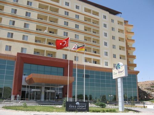
Located in Cappadocia, Kozaklı is one of the district centers of Nevşehir. Due to its central situation to the nearest larger cities like Nevşehir, Kayseri, Yozgat, Niğde and Kırşehir (within 100 km (62 mi) distance), and particularly due to its natural spas, hamams and hotel facilities, Kozaklı has been a popular resort in Central Anatolia.
Neighbourhoods
The town of Kozaklı consists of the following quarters: Buruncuk Mahallesi, Hocaahmet Yesevi Mahallesi, Kızılkoyunlu Mahalle, Yabanlı Mahalle, Altınsu Mahallesi, Bağlıca Mahallesi, Bahçelievler Mahallesi, Hamamorta Mahallesi and Yeni Mahalle.
Villages
Kozaklı province is divided into 35 districts (capital district in bold):