
- elevation 941 m (3,087 ft) - elevation 125 m (410 ft) | - location west of Mount Cookem | |
 | ||
- left Morong Creek, Hanrahans Creek, Doris Creek, Christys Creek, Gingra Creek - right Redcliff Creek, Waterfall Creek - location Tuglow, near Shooters Hill | ||
The Kowmung River (Aboriginal: Barnalay), a perennial river that is part of the Hawkesbury-Nepean catchment, is located in the Central Tablelands region of New South Wales, Australia.
Contents
Map of Kowmung River, New South Wales, Australia
Course and features
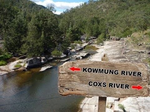
The Kowmung River is formed by the confluence of the Tuglow and Hollanders rivers near the locality of Tuglow, east southeast of the village of Shooters Hill. The river flows generally southeast and northeast, joined by seven minor tributaries, before reaching its confluence with the Coxs River west of Mount Cookem. The river descends 816 metres (2,677 ft) over its 74-kilometre (46 mi) course.
Approximately seventy per cent of the river's catchment lies within the boundaries of the Blue Mountains and Kanangra-Boyd national parks.
Much of the surrounding country is rugged, with steep cliffs and gorges. It is mostly covered by eucalyptus forest with some rainforest in deep ravines. The river is possibly home to the threatened Macquarie perch (Macquaria australasica), while the surrounds are home to the endangered species the brush-tailed rock wallaby (Petrogale penicillata), stuttering frog and south-eastern petaltail. Endangered flora found include Hakea dohertyi, Trachymene saniculifolia and Diuris aequalis.
Nomenclature
The river's name appears to be derived from the local Aboriginal word gummung meaning "sore eyes", likely a term for the condition trachoma. This is possibly because a plant, Centipeda cunninghamii, used by the local people to cure the condition grew along the riverbanks. Surveyor H.C. White recorded the Kowmung name in 1833; however, the Gandangara people called the river Barnalay elsewhere along its course.
In his attempt to cross the Blue Mountains in 1802, Francis Barrallier came to the river and followed it to Christys Creek before turning back due to a lack of supplies. Following in Barrallier's footsteps in 1806, George Caley came to the river and named it the Dryander.