Time zone GMT (UTC+0) Local time Friday 9:53 PM | Area 472 km² | |
 | ||
Weather 32°C, Wind SE at 6 km/h, 22% Humidity | ||
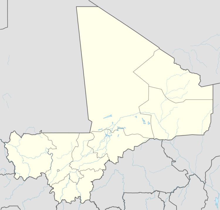
Kouoro is a small town and rural commune in the Cercle of Sikasso in the Sikasso Region of southern Mali. The commune covers an area of 472 square kilometers and includes the town and five villages. In the 2009 census it had a population of 11,315. The town of Kouoro, the chef-lieu of the commune, is 75 km north of Sikasso, on the RN11, the main road linking Sikasso and Koutiala.
Map of Kouoro, Mali
The French explorer René Caillié stopped at Kouoro in February 1828 on his journey to Timbuktu. He was travelling with a caravan transporting kola nuts to Djenné. In his book Travels through Central Africa to Timbuctoo published in 1830, he refers to what was then a village as Couara. Caillié wrote:
At nine o'clock in the morning we halted at Couara, a pretty village, where we found an abundance of all the necessities of life. The inhabitants grow a great deal of cotton and millet, and are supplied with water from a stream that runs E.N.E., half a mile from the village.
What Caillié referred to as a stream was actually the Banifing River, a tributary of the Bani but in February it would have had very little water.
