
Local time Friday 9:42 PM | ||
 | ||
Koumbi Saleh, sometimes Kumbi Saleh is the site of a ruined medieval town in south east Mauritania that may have been the capital of the Ghana Empire.
Contents
- Map of Koumbi Saleh Islamic Republic of Mauritania
- Archaeological site
- World Heritage Status
- References
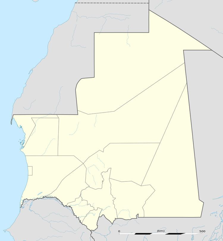
Map of Koumbi Saleh, Islamic Republic of Mauritania
From the ninth century, Arab authors mention the Ghana Empire in connection with the trans-Saharan gold trade. Al-Bakri who wrote in eleventh century described the capital of Ghana as consisting of two towns 6 miles apart, one inhabited by Muslim merchants and the other by the king of Ghana. The discovery in 1913 of a 17th-century African chronicle that gave the name of the capital as Koumbi led French archaeologists to the ruins at Koumbi Saleh. Excavations at the site have revealed the ruins of a large Muslim town with houses built of stone and a congregational mosque but no inscription to unambiguously identify the site as that of capital of Ghana. Ruins of the king's town described by al-Bakri have not been found. Radiocarbon dating suggests that the site was occupied between the late 9th and the 14th centuries.
Archaeological site
The extensive ruins at Koumbi Saleh were first reported by Albert Bonnel de Mézières in 1914. The site lies in the Sahel region of southern Mauritania, 30 km north of the Malian border, 57 km south-southeast of Timbédra and 98 km northwest of the town of Nara in Mali. The vegetation is low grass with thorny scrub and the occasional acacia tree. In the wet season (July–September) the limited rain fills a number of depressions, but for the rest of the year there is no rain and no surface water.
Beginning with Bonnel de Mézières in 1914, the site has been excavated by successive teams of French archaeologists. Paul Thomassey and Raymond Mauny excavated between 1949 and 1951, Serge Robert during 1975-76 and Sophie Berthier during 1980-81.
The main section of the town lay on a small hill that nowadays rises to about 15 m above the surrounding plain. The hill would have originally been lower as part of the present height is a result of the accumulated ruins. The houses were constructed from local stone (schist) using banco rather than mortar. From the quantity of debris it is likely that some of the buildings had more than one storey. The rooms were quite narrow, probably due to the absence of large trees to provide long rafters to support the ceilings. The houses were densely packed together and separated by narrow streets. In contrast a wide avenue, up to 12 m in width, ran in an east-west direction across the town. At the western end lay an open site that was probably used as a marketplace. The main mosque was centrally placed on the avenue. It measured approximately 46 m east to west and 23 m north to south. The western end was probably open to the sky. The mihrab faced due east. The upper section of the town covered an area of 700 m by 700 m. To the southwest lay a lower area (500 m by 700 m) that would have been occupied by less permanent structures and the occasional stone building. There were two large cemeteries outside the town suggesting that the site was occupied over an extended period. Radiocarbon dating of charcoal fragments from a house near the mosque have given dates that range between the late 9th and the 14th centuries. The French archaeologist Raymond Mauny estimated that the town would have accommodated between 15,000 and 20,000 inhabitants. Mauny himself acknowledged that this is an enormous population for a town in the Sahara with a very limited supply of water ("Chiffre énorme pour une ville saharienne").
The archaeological evidence suggests that Koumbi Saleh was a Muslim town with a strong Maghreb connection. No inscription has been found to unambiguously link the ruins with the Muslim capital of Ghana described by al-Bakri. Moreover, the ruins of the king's town of Al-Ghaba have not been found. This has led some historian to doubt the identification of Koumbi Saleh as the capital of Ghana.
World Heritage Status
The archaeological site was added to the UNESCO World Heritage Tentative List on June 14, 2001 in the Cultural category.