
Official name Kouga Dam Purpose Irrigation Opening date 1969 Opened 1969 | Status Operational Height 94 m Construction began 1957 | |
 | ||
Operator Department of Water and Sanitation Similar Ncora Dam, Impofu Dam, Palmiet Pumped Storage S, Gouda Wind Facility, Colenso Power Station | ||
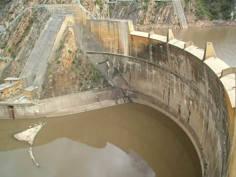
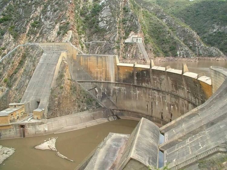
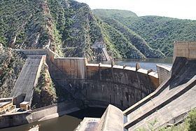
Kouga dam from the air
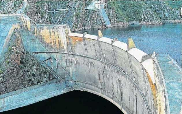
The Kouga Dam (formerly: Paul Sauer Dam prior to 1995) is an arch dam on the Kouga River about 21 km (13 mi) west of Patensie in Kouga Local Municipality, South Africa. It supplies irrigation water to the Kouga and Gamtoos valleys as well as drinking water to the Port Elizabeth metropolitan area via the Loerie Balancing Dam. It was constructed between 1957 and 1969.
Contents
The dam can be accessed by following the R330 and then the R331 from the N2 at Humansdorp. All but the last 8 kilometres (5.0 mi) is tarred road and there is a short tunnel just before the dam wall.
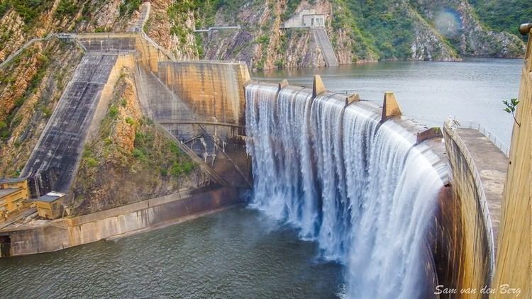
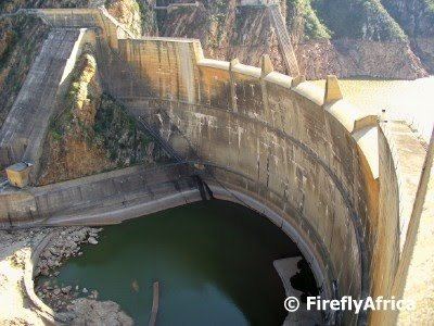
Kouga dam
Kouga Dam Power Station
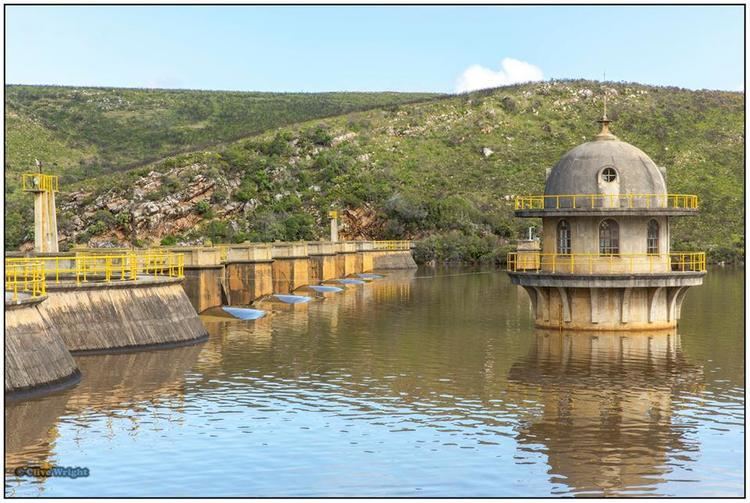
There are three 1200 kVA hydroelectric turbines at the base of the dam, but they are currently not in use.
References
Kouga Dam Wikipedia(Text) CC BY-SA