
Time zone IST (UTC+5:30) Elevation 98 m Population 6,338 (2011) | PIN 522647 Area 21.25 km² Area code 08646 | |
 | ||
Kotcherla is a village in Guntur district of the Indian state of Andhra Pradesh. It is located in Ipur mandal of Narasaraopet revenue division.
Contents
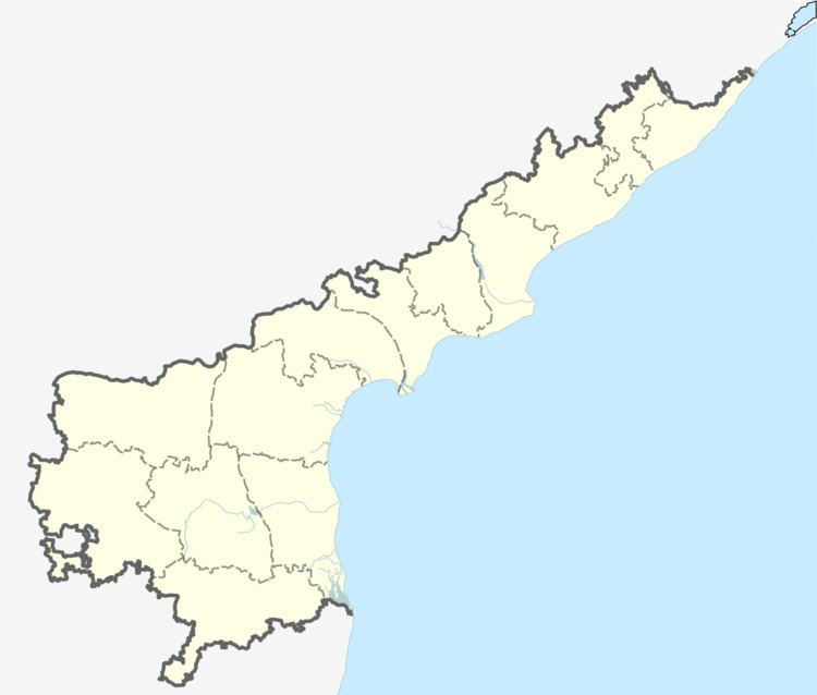
Map of Kotcherla Kota, Andhra Pradesh
Geography
Kotcherla is located at 16.05°N 79.75°E / 16.05; 79.75. It has an average elevation of 98 m (322 ft).
Politics
Kotcherla falls under Vinukonda assembly constituency and Narasaraopet lok sabha constituency.
Transport
It is located 88 km southwest of Guntur and is on the state highway connecting Vinukonda and Hyderabad.
References
Kotcherla Wikipedia(Text) CC BY-SA