
Elevation 1,519 m Parent range Ural Mountains | ||
 | ||
Similar Konzhakovskiy Kamen, Gora Serebryanskiy Kamen', Mount Yamantau, Oslyanka, Kvarkush | ||
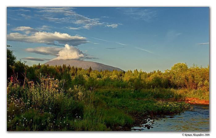
Mount Kosvinsky Kamen, Kosvinsky Mountain, Kosvinski Mountain, Kosvinsky Rock or Rostesnoy Rock (Russian: Косвинский камень, Косьвинский камень, Ростесной камень) is a mountain in the northern Urals, Sverdlovsk Oblast, Russia.
Contents
Map of Kosvinsky Kamen, Sverdlovsk Oblast, Russia, 624945
Its summit is bare of vegetation with an uneven rocky surface and small lakes fed by melting snow. The Kosva River flows from the mountain, hence the name.
The Great Soviet Encyclopedia describes Kosvinsky Rock as "mountain massif" of height 1,519 m. Its constitution is pyroxenites and dunites of lower and middle Paleozoic era. The slopes are covered with conifers with some birch up to 900–1000 m, with alpine tundra above.
MilitaryEdit
According to a 1997 article in the Washington Times, a CIA report stated that there were construction works for a "nuclear-survivable, strategic command post at Kosvinsky Mountain". The Russian Government later stated the bunker had been completed as a continuity of government facility in 1996. It was designed to resist US earth penetrating weapons and serves a similar role as the American Cheyenne Mountain Complex. The timing of the Kosvinsky completion date is regarded as one explanation for U.S. interest in a new nuclear bunker buster and the declaration of the deployment of the B61 Mod 11 in 1997: Kosvinsky is protected by about 1,000 feet (300 m) of granite.