
Country Thailand Time zone THA (UTC+7) Geocode 6211 Population 28,347 (2005) | Seat Kosamphi Postal code 62170 Area 489.4 km² Province Kamphaeng Phet Province | |
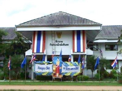 | ||
Kosamphi Nakhon (Thai: โกสัมพีนคร) is a district (Amphoe) in the northwestern part of Kamphaeng Phet Province, central Thailand.
Contents
Map of Kosamphi Nakhon District, Kamphaeng Phet, Thailand
History
In Sukhothai Kingdom era, Mueang Kosamphi was a satellite city of the frontier city Mueang Chakangrao (Kamphaeng Phet), at same level as Mueang Nakhon Chum, Trai Trueng, Phan and Phangkha. Archaeological evidence of the ancient city was found in Ban Khlong Mueang, Tambon Kosamphi.
The minor district was separated from Mueang Kamphaeng Phet district and created on July 15, 1996.
Following a decision of the Thai government on May 15, 2007, all of the 81 minor districts were to be upgraded to full districts. With the publishing in the Royal Gazette on August 24 the upgrade became official .
Geography
Neighboring districts are (from the northeast clockwise) Phran Kratai, Mueang Kamphaeng Phet of Kamphaeng Phet Province and Wang Chao and Mueang Tak of Tak Province.
The water resource are the Ping and Wang Chao River.
Administration
The district is subdivided into 3 subdistricts (tambon), which are further subdivided into 43 villages (muban). There are no municipal (thesaban) areas, 3 Tambon administrative organizations (TAO).