
PIN 521343 Elevation 11 m Population 8,333 (2011) | Time zone IST (UTC+5:30) Telephone code 91-08677 Area 18.37 km² Local time Friday 7:49 PM | |
 | ||
Weather 29°C, Wind S at 13 km/h, 66% Humidity | ||
Kalidindi to korukollu road krishna district andhra pradesh
Korukollu is a small village in the Kalidindi mandal of Krishna District in Andhra Pradesh, India.
Contents
- Kalidindi to korukollu road krishna district andhra pradesh
- Map of Korukollu Andhra Pradesh 521343
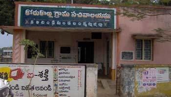
- Korukollu krishna district andhra pradesh
- Geography
- Demographics
- Facilities
- Transport
- Economy
- References
Map of Korukollu, Andhra Pradesh 521343
Korukollu krishna district andhra pradesh
Geography
The climate is tropical, with hot summers and moderate winters. The average warmest month is May.On average, the coolest month is January.The maximum average precipitation occurs in August. The peak temperature reaches 37 °C (99 °F) in May–June, while the winter temperature is 19-28 C. The average humidity is 78% and the average annual rainfall is 103 cm. Korukollu gets its rainfall from both the south-west monsoon and north-east monsoon.
Climate
Demographics
Facilities
Maa Computer Pro: B.Kirankumar. contact: 08677-286651, 8142626026
Transport
Korukollu has bus connectivity to Hyderabad, Vijayawada, Gudiwada, Bhimavaram and Kaikaluru. The nearest railway station is in Kaikaluru, and the nearest airport is in Vijayawada. Nearby villages include Avakuru, Kalidindi, Bhaskarraopeta, Elurupadu, Mudinepalle, Bantumilli and Singarayapalem.
Economy
Rice and Aqua culture are major sources of income.