
Time zone EET (UTC+2) Licence plate 52 Elevation 673 m District area 233.4 km² Area code 0452 | Region Black Sea Postal code 52xxx Climate Csb Area 233 km² Local time Friday 3:24 PM | |
 | ||
Weather 6°C, Wind NE at 10 km/h, 79% Humidity | ||
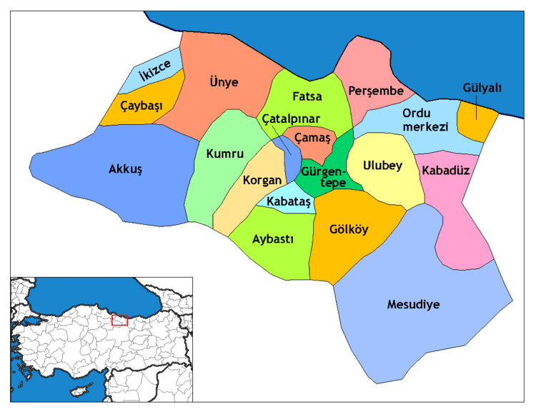
Korgan is a town and district of Ordu Province in the Black Sea region of Turkey. According to the 2000 census, the population of the district is 41,628 of which 15,587 live in the town of Korgan. The district covers an area of 233 km2 (90 sq mi), and the town lies at an elevation of 673 m (2,208 ft).
Contents
Map of Korgan, Tepe Mahallesi, 52700 Korgan%2FOrdu, Turkey
The villages of Korgan district include Aşağıkozpınar, Belalan, Beypınarı, Büyükakçakese, Çitlice, Durali, Karakışla, Koççığaz, Soğukpınar, Tatarcık, Tepeköy, Terzili, Yeniköy, Yeşilalan, Yeşildere, Yeşilyurt, and Yukarıkozpınar.
History
The district of Korgan has been a source of iron ore since the reign of Mithridates, King of Pontus, and even before that the area was occupied by Persians in the reign of Darius I in the 6th century BC, as part of the Satrapy of Pontus and Cappadocia. The Persian presence was erased by the armies of Alexander the Great in 331BC, and the area eventually became part of the Kingdom of Pontus and then the Roman Empire. This era ended in 1083 when Korgan was conquered by the Turkish armies of Danishmend Gazi. Subsequently a number of Turkish tribes ruled here until 1398 when Bayezid I brought the area, then known as Keşdere after a tributary of the River Bolaman, into the Ottoman Empire.