
Area codes 0 77 63 Elevation 547 m Local time Friday 9:33 AM Postal code 4794 | Time zone CET (UTC+1) Vehicle registration SD Area 33.34 km² Population 1,991 (1 Apr 2009) | |
 | ||
Weather 11°C, Wind SW at 3 km/h, 48% Humidity | ||
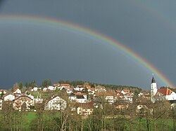
Kopfing im Innkreis is a municipality in the district of Schärding in the Austrian state of Upper Austria.
Contents
Map of Kopfing im Innkreis, Austria
Geography
Kopfing lies in the northern Innviertel. About 46 percent of the municipality is forest, and 48 percent is farmland.
References
Kopfing im Innkreis Wikipedia(Text) CC BY-SA