
Elevation 127 m | Time zone IST (UTC+5:30) Local time Friday 1:59 PM | |
 | ||
Weather 36°C, Wind W at 11 km/h, 36% Humidity | ||
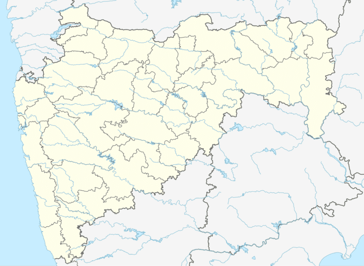
Kopela is a village in the Gadchiroli district of Maharashtra, India.
Contents
Map of Kopela, Maharashtra 442504
Geography
Kopela is located at 18.83°N 80.23°E / 18.83; 80.23. It has an average elevation of 127 metres (419 feet).
It lies on National highway No 16 between Nizamabad in Andhra Pradesh and Jagdalpur in Chhattisgarh State.
It is on the border of Maharashtra and Chhattisgarh states.
References
Kopela Wikipedia(Text) CC BY-SA