
Time zone IST (UTC+5:30) Vehicle registration KL- Population 36,602 (2011) | PIN 6XXXXX Local time Friday 1:31 PM | |
 | ||
Weather 33°C, Wind SW at 14 km/h, 59% Humidity Neighborhoods Kanjirakunnu, Unnamthala, Parammal, Kadupuram, Padinharmanna | ||
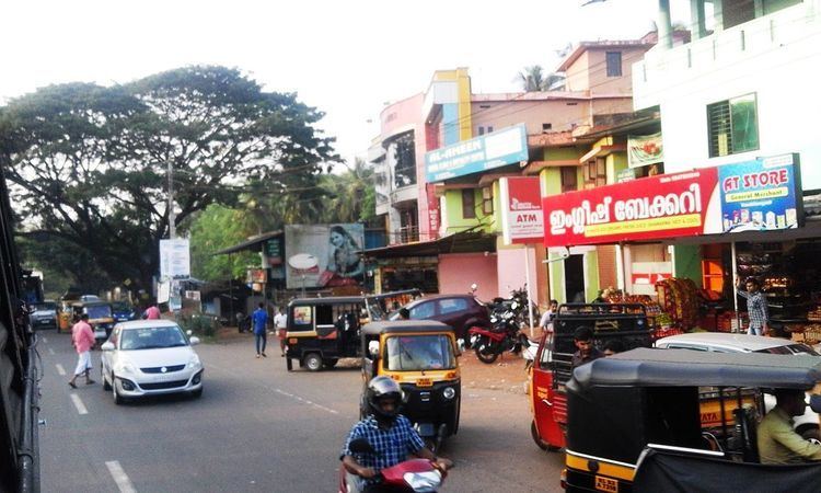
Koottilangadi is a census town and outgrowth of Malappuram in the state of Kerala, India. It is a small and growing town on Malappuram.National highway 966 (formerly NH 213) which connects calicut with Malappuram and Palakkad, passes through Koottilangadi."'Koottilangadi bridge "',constructed over "Kadalundi" river is considered as the gateway to Malappuram municipality.
Contents
Map of Koottilangadi, Kerala
Demographics
As of 2011 India census, Kootilangadi has a population of 36,602 with 17,734 males and 18,868 females. Though officially a panchayat, Kootilangadi being contiguous with Malappuram municipality has grown over the years to be the southern gateway of the city. There are many commercial establishments here along with a small market. There is also a Govt.UP School situated here.
References
Koottilangadi Wikipedia(Text) CC BY-SA