Charter 1922 Municipal tax rate 19.5% | Time zone EET (UTC+2) Local time Friday 7:36 AM | |
 | ||
Area rank 171st largest in Finland Weather 1°C, Wind S at 27 km/h, 88% Humidity | ||
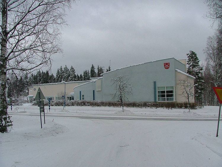
Konnevesi is a municipality of Finland.
Contents
Map of 44300 Konnevesi, Finland
It is located in the former province of Western Finland and is part of the Central Finland region. The municipality has a population of 2,751 (31 March 2016) and covers an area of 512.96 square kilometres (198.05 sq mi) of which 167.95 km2 (64.85 sq mi) is water. There are all together exactly 100 lakes in Konnevesi. The biggest lakes are Keitele, Lake Konnevesi and Liesvesi. The population density is 5.36 inhabitants per square kilometre (13.9/sq mi).
Neighbouring municipalities are Hankasalmi, Laukaa, Rautalampi, Vesanto and Äänekoski.
The municipality is unilingually Finnish.
Villages
Hänniskylä, Hytölä, Istunmäki, Kärkkäiskylä (l. Kirkonkylä), Lummukka, Mäkäräniemi, Pukara, Pyhälahti, Rossinkylä, Siikakoski, Sirkkamäki, Särkisalo, Lahdenkylä, Pyydyskylä (l.Välimäki), Leskelänkylä, Jouhtikylä and Tankolampi.
