
Country Finland Time zone EET (UTC+2) Local time Saturday 7:51 AM | Charter 1561 Municipal tax rate 20.5% Region Northern Savonia | |
 | ||
Sub-region Inner Savonia sub-region Area rank 161st largest in Finland Weather -3°C, Wind S at 8 km/h, 90% Humidity | ||
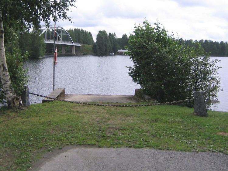
Rautalampi is a municipality of Finland.
Contents
Map of 77700 Rautalampi, Finland
It is located in the former province of Eastern Finland and is part of the Northern Savonia region. The municipality has a population of 3,292 (31 March 2016) and covers an area of 538.93 square kilometres (208.08 sq mi) of which 222.99 km2 (86.10 sq mi) is water. The population density is 6.11 inhabitants per square kilometre (15.8/sq mi).
Neighbouring municipalities are Hankasalmi, Konnevesi, Pieksämäki, Suonenjoki, Tervo and Vesanto.
The municipality is unilingually Finnish.
National Park
Southern Konnevesi National Park was established in 2014. It is known for its prehistoric rock paintings.
References
Rautalampi Wikipedia(Text) CC BY-SA