
Area served Global Founded 1992 | Number of employees 45 | |
 | ||
Industry Defence and Aerospace, Software Key people Ranald McGillis (President)Robert Aube (Vice President) Products TerraLens (formerly InterMAPhics)I-SIMInterCOM DDSIRIS UAS Parent organizations Kongsberg Gruppen, Kongsberg Defence & Aerospace | ||
Kongsberg Geospatial is a Situational Awareness and Geospatial Visualization software company located in Ottawa, Ontario, Canada. It was founded in 1992 as Gallium Visual Systems Inc. and purchased in 2006 by Norwegian Defence firm Kongsberg Gruppen. It currently operates as a subsidiary of Kongsberg Defence & Aerospace and in 2012, officially changed its name to Kongsberg Gallium Ltd. In 2016, the company changed its name again to Kongsberg Geospatial.
Contents
Their current office is located in the Kanata Research Park with many other high tech and IT companies.
Kongsberg Geospatial primarily sells to the defence market, but has also created software for Air Traffic Management, Air Traffic Control Simulation and Training, and Vessel Traffic Management applications. Its primary customers are government and military, or prime contractors.
Products
Kongsberg Geospatial offers a family of software development kit (SDK) products directly to customers or uses them as the basis for turn-key solutions and applications. The company also sells standalone applications for Air Traffic Control training and simulation and for operating Unmanned Aerial Vehicles (UAVs) beyond visual line-of-sight (BVLOS).
TerraLens (formerly InterMAPhics) was first created in 1992 as one of Gallium Visual Systems first products. It is a software development kit used for the development of custom user interface and real-time mapping applications. It can use a variety of map formats and platforms to provide Situational Awareness and Geospatial Visualization information. The SDK is currently in its 8th generation and is used as the basis of many of the company's applications.
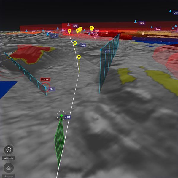
IRIS UAS is a standalone application created to provide UAV pilots with spatial awareness and warning of airspace conflicts when piloting UAVs beyond visual line-of-sight.
Intercom DDS is an open standard middleware for data distribution. It is built to allow developers to define and share real time data across systems, networks, platforms and processors. Kongsberg Geospatial participates in DDS standards groups created by the Object Management Group. As such, InterCOM DDS can be used with any OMG RTPS protocol compliant device.
ISIM is an Air Traffic Control Trainer used for Air Traffic Control Training, Air Space Analysis, HMI Development, and UAV integration. It was developed to provide the radar simulation for the US National Airspace System (NAS). It is the only system that uses the same display and user interface as the automation systems in FAA air traffic control centers. It is based on InterMAPhics.
Notable projects
Over 20 years, Kongsberg Geospatial has provided software to a number of projects, including:
Air
Naval
Land
Air Traffic Control Simulation and Training
Surveillance
Community involvement
Kongsberg Geospatial contributes to The Ottawa Hospital, and over the past six years, has raised over $250,000. In 2014, these efforts resulted in a Best Ottawa Business Award for Philanthropic Initiative of the Year.