Location India–China border Range Himalayas | Elevation 5,171 m | |
 | ||
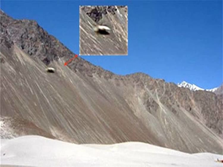
The Kongka Pass (Hindi: कोंग्का पास ) or Kongka La (Chinese: 空喀山口), elevation 5,171 m (16,965 ft), is a high mountain pass of the Chang-Chemno Range on the Line of Actual Control. China considers the Kongka Pass as its boundary with India, whereas India regards Lanak Pass further east as the boundary. 19th-century British Indian travellers stated that the traditional boundary between Ladakh and Tibet was at Lanak La., but modern scholars such as Larry Wortzel and Allen S. Whiting consider Kongka Pass to be the traditional border.
Contents
Map of Kongka La
Kongka Pass incident
In October 1959, Indian troops crossed the Kongka Pass in an attempt to establish posts on the Lanak Pass. This resulted in a clash with the Chinese soldiers posted on Kongka Pass. Of the 70 Indian soldiers, nine were killed and ten were taken prisoner. Chinese soldiers reportedly suffered one death. Indian media described the event a "brutal massacre of an Indian policy party." The incident preceded the Sino-Indian War in 1962.
