
Country Thailand Seat Kong Ra Postal code 93180 Area 255.8 km² | Province Phatthalung Time zone THA (UTC+7) Geocode 9302 Population 33,413 (2005) | |
 | ||
Kong Ra (Thai: กงหรา, [kōŋ rǎː]) is a district (Amphoe) of Phatthalung Province, southern Thailand.
Contents
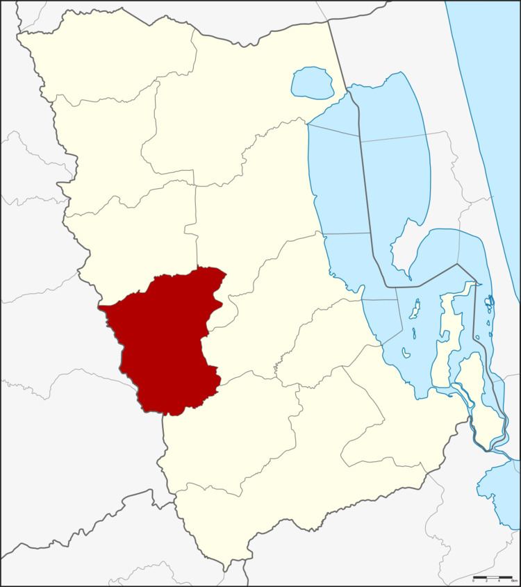
Map of Kong Ra District, Phatthalung, Thailand
Geography
Neighboring districts are (from the north clockwise) Srinagarindra, Mueang Phatthalung, Khao Chaison and Tamot of Phatthalung Province, Palian and Yan Ta Khao of Trang Province.
History
The minor district (King Amphoe) was created on October 1, 1975, when the three tambon Kong Ra, Khlong Chaloem and Charat were split off from Mueang Phatthalung district. It was upgraded to a full district on July 13, 1981.
Administration
The district is subdivided into 5 subdistricts (tambon), which are further subdivided into 45 villages (muban). There are no municipal (thesaban) areas, and 5 Tambon administrative organizations (TAO).
References
Kong Ra District Wikipedia(Text) CC BY-SA