Population 245 (2006 census) Postcode(s) 6605 Elevation 296 m Postal code 6605 | Established 1917 Founded 1917 Local time Friday 12:03 PM | |
 | ||
Location 205 km (127 mi) North North East of Perth21 km (13 mi) North of Wongan Hills75 km (47 mi) South East of Moora LGA(s) Shire of Wongan-Ballidu Weather 29°C, Wind W at 19 km/h, 27% Humidity | ||
Kondut is a small town in Wheatbelt region of Western Australia.
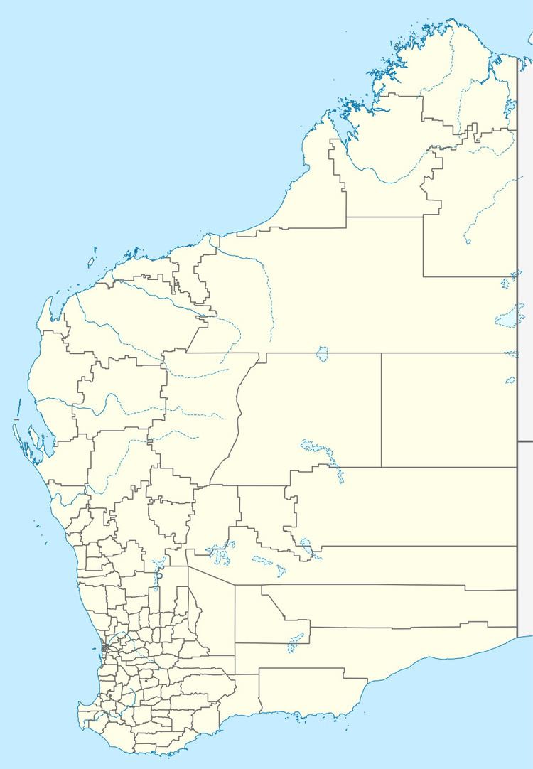
Map of Kondut WA 6605, Australia
The first European to visit and chart the area was the surveyor C Crossland in 1884. He named a nearby well Conduit Well. The town was originally a railway siding that was constructed in 1913 as part of the Dowerin to Mullewa line. The townsite was later gazetted in 1917.
The surrounding areas produce wheat and other cereal crops. The town is a receival site for Cooperative Bulk Handling.
References
Kondut, Western Australia Wikipedia(Text) CC BY-SA
