
Vehicle registration JH Elevation 92 m | Time zone IST (UTC+5:30) Coastline 0 kilometres (0 mi) Local time Friday 2:09 AM | |
 | ||
Weather 21°C, Wind SW at 5 km/h, 53% Humidity | ||
Kokpara is a town in East Singhbhum district, Jharkhand, India.
Contents
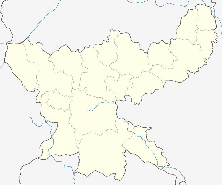
Map of Kokpara, Jharkhand 832302
Geography
It is located at 22°28′0″N 86°36′0″E at an elevation of 92 m from MSL.
Location
National Highway 33 passes through Kokpara. Nearest airport is Ranchi Airport and nearest railway station is at Tatanagar. Jamshedpur is 80 km from Kokpara.
References
Kokpara Wikipedia(Text) CC BY-SA