
Length 31.1 km | ||
 | ||
North end: Route 270 (ʻAkoni Pule Highway) in Hāwī | ||
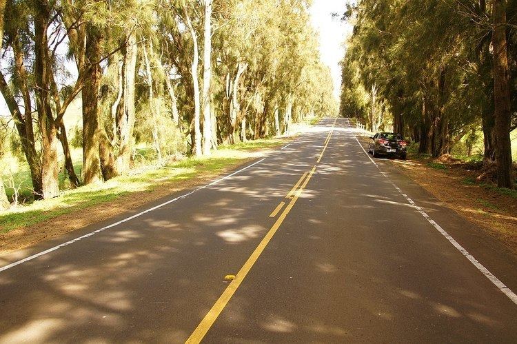
Kohala Mountain Road, designated Route 250, travels upon the Kohala mountain on the island of Hawaiʻi in the state of Hawaii, United States.
Contents
Map of Kohala Mountain Rd, Waimea, HI 96743, USA
Kohala Mountain road, known locally as "the High Road", begins about 1.8 miles (2.9 km) west of Waimea, at 20°1′36″N 155°41′57″W, near the Hawaii Preparatory Academy campus. Route 19 at this point is known as Hawaii Belt Road, or Kawaihae Road. The northern terminus (where Route 250 is known as Hāwī Road), is in the town of Hāwī at 20°14′16″N 155°49′49″W, at the intersection of ʻAkoni Pule Highway (Route 270).
Major junctions
The entire route is in Hawaii County.
References
Kohala Mountain Road Wikipedia(Text) CC BY-SA