
Elevation −3 m (−10 ft) Area code 0226, 0229, 072 Local time Thursday 6:36 PM | Established 1 January 2007 Time zone CET (UTC+1) Area 83.54 km² | |
 | ||
Postcode Parts of 1600 and 1700 range Weather 13°C, Wind SW at 18 km/h, 72% Humidity | ||
Koggenland is a municipality in North Holland province and the region of West-Frisia of the Netherlands. It came into existence on 1 January 2007 upon the merger of the two former municipalities of Obdam and Wester-Koggenland.
Contents
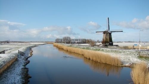
Map of Koggenland, Netherlands
The name of the municipality refers to the historic Kogge from the middle-ages. A kogge or cogge was a jurisdiction area of several villages or bannen (mostly around 4 or 5).
Population centres
Villages:
Hamlets:
Dutch topographic map of the municipality of Koggenland, July 2015
References
Koggenland Wikipedia(Text) CC BY-SA