
Elevation 35 m | Amphoe Hua Hin Max length 400 m | |
 | ||
Province Prachuap Khiri Khan Province | ||
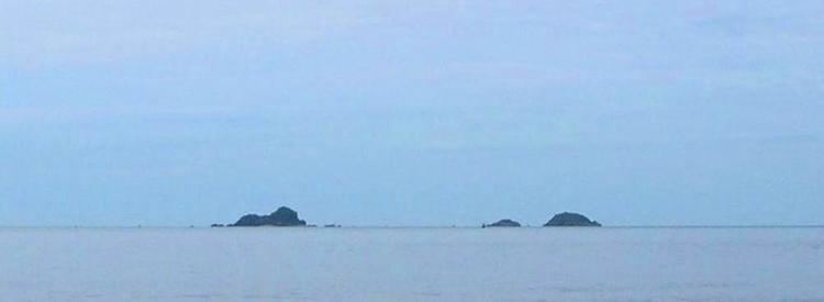
Ko Sai (เกาะทราย) is one of the gulf islands of Thailand. It lies on the west side of the Gulf of Thailand, about 2 km off-shore.
Contents
Map of Ko Sai, Thailand
Geography
Ko Sai is the largest of a group of three rocky islets also known as "Pran Rocks", off the fishing village of Khao Takiab, just south of Hua Hin. This area belongs administratively to Prachuap Khiri Khan Province.
Ko Sai has a maximum length of 0.4 km and its highest point reaches 35 m. Ko Sai vaguely resembles a sitting lion when seen from shore. Local tour operators call it "Lion Island" (Ko Singto) and organize regular sightseeing and snorkeling excursions to visit it.
Adjacent islands
Two smaller islets are close to Ko Sai:
References
Ko Sai Wikipedia(Text) CC BY-SA