
Max length 750 m | ||
 | ||
Similar Ko Lamphu Public Park, Cheow Lan Lake, Rattanakosin Island, Ratchaprapha Dam, Suan Mokkh Moklapha | ||
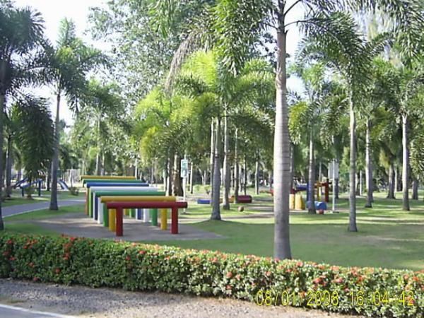
Ko Lamphu (เกาะลำพู) is a small island in the Tapi River, Thailand. This island is about 9 km (5.6 miles) from the river's mouth, near the town center of Surat Thani. It is connected by bridge to the city at the pillar shrine.
Contents
- Map of Ko Lamphu Bang Bai Mai Mueang Surat Thani District Surat Thani 84000 Thailand
- Siam on tour ko lamphu
- Festivals
- References
Map of Ko Lamphu, Bang Bai Mai, Mueang Surat Thani District, Surat Thani 84000, Thailand
Ko Lamphu is 0.75 km (0.47 mi) in length and it is flat. This island is car-free, which contributes to the peaceful atmosphere and makes it a popular place for picnics as well as for sports. Ko Lamphu has a promenade by the riverfront with food stalls that is particularly pleasant in the evening.
Ko Lamphu should not be confused with Ko Lamphu Rai, a riverine island in Trat Province.
Siam on tour ko lamphu
Festivals
The Chak Phra and the Thot Phapa Buddhist ceremonies are celebrated on the same day in October at Ko Lamphu. At the Thot Phapa event Buddha images on elaborately decorated carriages are pulled by local people during land and water-borne processions. This ceremony takes place at dawn. Chak Phra, celebrated later in the day, consists of offering saffron robes to monks and donations to temples at the end of the Buddhist Rains Retreat.