
Coastline 13 km (8.1 mi) Max length 2 km | Coordinates 13.9069362,100.4733154 Population 6,174 (2012 Census) Max width 1 km | |
 | ||
Similar Wat Poramaiyikawas, Khao Kho National Park, Wat Suwandararam, The Million Years Stone Par, Bang Pa‑In Royal Palace | ||
Ko kret the island in the chaopraya river thailand
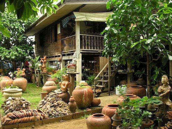
Ko Kret (locally known as เกาะเกร็ด) is a small island in the Chao Phraya River in the province of Nonthaburi. It is some 3 km (1.9 mi) long and 3 km (1.9 mi) wide. It has seven main villages, the largest and most populous being Ban Mon.
Contents
- Ko kret the island in the chaopraya river thailand
- Map of Ko Kret Pak Kret District Nonthaburi 11120 Thailand
- Ko kret nonthaburi
- History
- Interesting places
- References
Map of Ko Kret, Pak Kret District, Nonthaburi 11120, Thailand
The island is served by ferries.
Ko kret nonthaburi
History
Ko Kret (Go Gred) was created in 1722 by the digging of a canal to bypass a meander in the Chao Phraya.
Interesting places
References
Ko Kret Wikipedia(Text) CC BY-SA