
Elevation 120 m | Area 14.37 km² | |
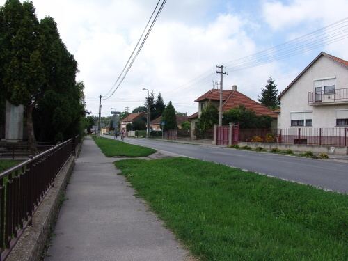 | ||
Košúty (Hungarian: Nemeskosút) is a village and municipality in Galanta District of the Trnava Region of south-west Slovakia.
Contents
Map of 925 09 Ko%C5%A1%C3%BAty, Slovakia
History
In the 9th century, the territory of Košúty became part of the Kingdom of Hungary. In historical records the village was first mentioned in 1138. After the Austro-Hungarian army disintegrated in November 1918, Czechoslovak troops occupied the area, later acknowledged internationally by the Treaty of Trianon. Between 1938 and 1945 Košúty once more became part of Miklós Horthy's Hungary through the First Vienna Award. From 1945 until the Velvet Divorce, it was part of Czechoslovakia. Since then it has been part of Slovakia.
Geography
The municipality lies at an elevation of 120 metres and covers an area of 14.73 km². It has a population of about 1476 people.