
Country Serbia Settlements 86 Postal code 19350 Local time Thursday 11:01 AM | Time zone CET (UTC+1) Area 1,202 km² | |
 | ||
Weather 12°C, Wind NW at 16 km/h, 43% Humidity | ||
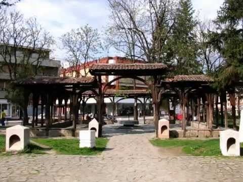
Knjaževac (Serbian Cyrillic: Књажевац, [kɲǎːʒɛʋats]) is a town and municipality located in the Zaječar District of the eastern Serbia. It is situated in geographical region of the Timočka Krajina bordering Bulgaria. The town is situated between three mountains. The municipality has a population of 30,902 inhabitants.
Contents
- Map of Knjazevac Serbia
- History
- Geography
- Population
- Climate
- Tourism
- Notable people
- Twin towns Sister cities
- References
Map of Knjazevac, Serbia
History
In the Roman period, Timacum Minus existed within the present municipality. In 1833, the town, formerly known as Gurgusovac, was liberated from the Ottoman Empire and was administrated into the Krajina nahija of the Principality of Serbia in 1834. In 1859 the official name was changed to Knjaževac. From 1929 to 1944, Knjaževac was part of the Morava Banovina of the Kingdom of Yugoslavia. In 1944, a train tunnel was built in the town, which is depicted in the town's coat of arms.
Geography
The municipality extends over an area of 1202 km2 and is the fourth largest in the Republic of Serbia. Its countryside is mostly hilly and mountainous.
The highest point in the territory of the municipality is Midžor on Stara Planina (2169 m), which is also the second highest peak in the Republic of Serbia. The lowest point is 176 metres high and is situated in the Knjaževac valley. There are 86 inhabited places in the municipality of which 85 are villages. The town itself is situated at the confluence of the Trgoviški Timok and the Svrljiški Timok which become the Beli Timok. It flows on towards Zaječar, merges with the Crni Timok and becomes simply, Timok. It is this river that gives name to the Timočka Krajina region.
Knjaževac is connected with other towns by road and railroad traffic. It is found between the latitudes of 43°20' and 43°45' north and between the longitudes 22°11' and 22°41' east.
Population
The population of the municipality of Knjaževac is 30,902, while the population of the town is 18,089 (2011 census). The average population density is 25.7 inhabitants per square kilometer making it a sparsely populated municipality.
The population of the municipality include 35,977 (96.79%) Serbs, 452 (1.22%) Romani.
Climate
Knjaževac and its surroundings have a temperate and continental climate. The warmest month is July with an average temperature of 21.3 °C (70 °F), whereas the coldest month is January with average temperature of −0.8 °C (31 °F). Average annual rainfall is 590.8 mm/m2. There are 306 sunny days and 30 days of snow in a year.
Tourism
Knjaževac, with its ski resort Babin Zub offers opportunities for tourism and sports events. Its picnic areas are set in areas of natural beauty (like Banjica, Baranica etc.), places for rest and recreation. The 14th-century Church of the Holy Mother of God lies in the nearby village of Donja Kamenica. In 2014 Knjaževac was chosen as the outstanding destination in Europe. (Project EDEN Network)
Notable people
Twin towns — Sister cities
Knjaževac is twinned with: