
Car plates OKL | Area 851.6 km² | |
 | ||
Points of interest Park miejski w Kluczborku, Gród Rycerski, Muzeum im Jana Dzierżon, ADVENTURE PARK SPARTA, Gród Byczyna | ||
Kluczbork County (Polish: powiat kluczborski) is a unit of territorial administration and local government (powiat) in Opole Voivodeship, south-western Poland. It came into being on January 1, 1999, as a result of the Polish local government reforms passed in 1998. Its administrative seat and largest town is Kluczbork, which lies 41 kilometres (25 mi) north-east of the regional capital Opole. The county also contains the towns of Wołczyn, lying 12 km (7 mi) west of Kluczbork, and Byczyna, 15 km (9 mi) north of Kluczbork.
Contents
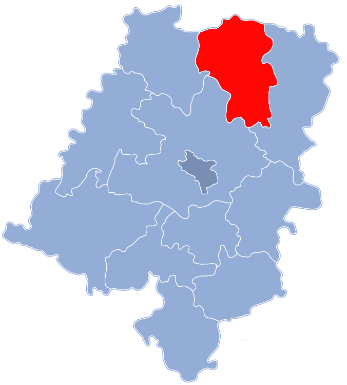
Map of Kluczbork County, Poland
The county covers an area of 851.59 square kilometres (328.8 sq mi). As of 2006 its total population is 70,082, out of which the population of Kluczbork is 25,910, that of Wołczyn is 6,139, that of Byczyna is 3,677, and the rural population is 34,356.
Neighbouring counties
Kluczbork County is bordered by Kępno County and Wieruszów County to the north, Olesno County to the south-east, Opole County to the south, and Namysłów County to the west.
Administrative division
The county is subdivided into four gminas (three urban-rural and one rural). These are listed in the following table, in descending order of population.