
PO box 7625 | Local time Thursday 4:27 AM | |
 | ||
Weather 14°C, Wind SE at 8 km/h, 72% Humidity | ||
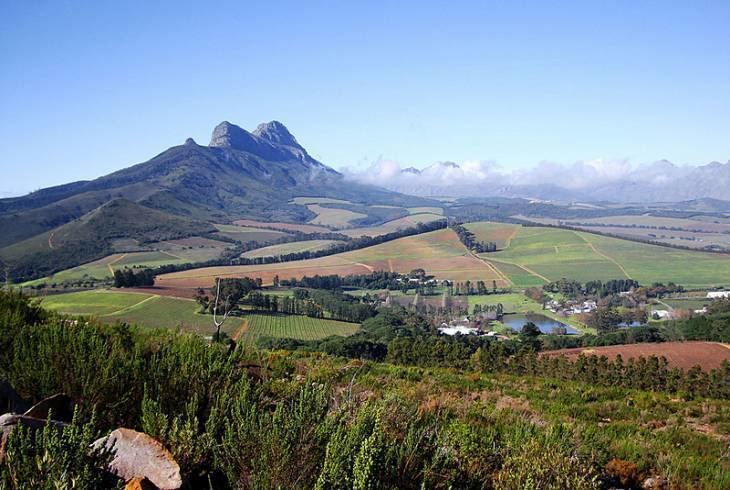
Klapmuts is the name of both a hill, and a town which formed at its foot. They are located in Cape Winelands District Municipality in the Western Cape province of South Africa.
Contents
Map of Klapmuts, 7625, South Africa
Klapmuts town
Klapmuts is a little town just off the R45 road between Kraaifontein and Paarl, It is well known for its surrounding wine farms. The Afrikaans Taal Museum in Klapmuts is a Georgian-style house built in the 1860s, with many exhibits from Afrikaans theatre, radio and television.
Klapmutskop hill and conservancy
Klapmutskop, the isolated hill which stands over the town, is a unique combination of Shale, Sandstone, Granite and Conglomerate. Its natural vegetation is a complex mixture, due to the underlying soils. It is predominantly the threatened Swartland Shale Renosterveld as well as several other vegetation types on the other soil types. The crown of the hill has an ancient relict remnant of Afrotemperate forest with a population of rare Breede River Yellowwood trees - stunted by the unique environment.
In 2004, a conservancy was set up over the hill by the surrounding farms, which serve as curators of the area and its wildlife.