
Country South Africa Municipality City of Cape Town PO box 7569 Local time Saturday 4:24 AM | Province Western Cape Postal code (street) 7570 Area code +27 (0)21 | |
 | ||
Weather 18°C, Wind S at 8 km/h, 85% Humidity | ||
Kraaifontein is a suburb of Cape Town, in the Western Cape province of South Africa.
Contents
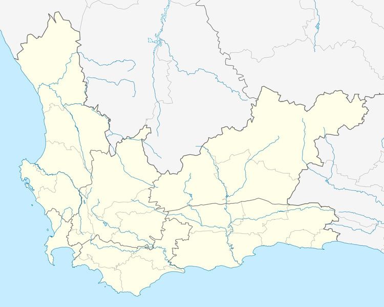
Map of Kraaifontein, Cape Town, South Africa
It is located in the city's northern suburbs and flanks the N1 Highway towards Paarl and Worcester to the north and south. It comprises several residential areas namely Windsor Park, Scottsville, Peerless Park, Eikendal, Belmont Park, Bonny Brook and Uitzicht.
Kraaifontein, encompassing the areas of Scottsdene, Wallacedene and Bloekombos, was once a separate municipality before the restructuring of all South African municipalities during the late 90's. These areas, however, are listed as separate suburbs by the City of Cape Town for planning and statistical purposes.
Forming part of the City of Cape Town Metropolitan Municipality, it is located in its Subcouncil 2 Area named Bergdal.
Coat of arms
The Kraaifontein municipal council assumed a coat of arms, registered it with the Cape Provincial Administration in June 1964, had it granted by the provincial administrator in March 1967, and registered it at the Bureau of Heraldry in September 1969.
The arms, designed by Schalk Pienaar, were : Argent, a chevron Gules between in chief two heraldic fountains and in base a bunch of grapes leaved proper (in layman's terms : a silver shield displaying, from top to bottom, two discs divided into wavy white and blue stripes, a red chevron, and a bunch of grapes). The crest was a parson-crow, and the motto Non auro sed virtute. Together the crow (kraai) and the fountains (fonteine) were a pun on the name of the town.