
Vehicle registration B | Postcode 40xxx41xxx42xxx Area 626.8 km² | |
 | ||
Calling code +6-03-3, +6-03-51, +6-03-5614 | ||
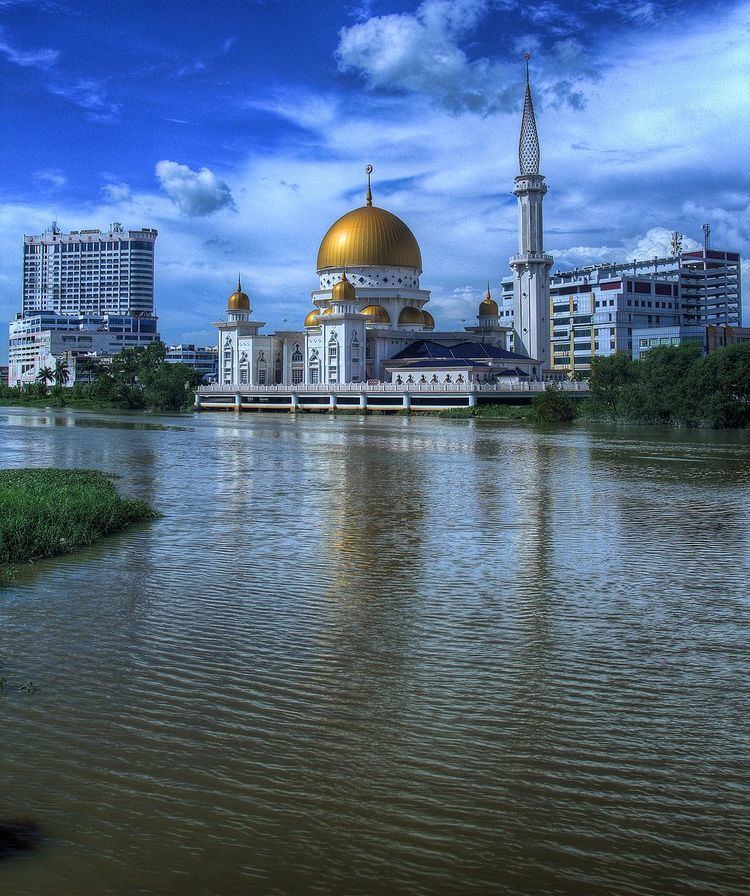
The Klang District (Malay: Daerah Klang) is an administrative district in Selangor, Malaysia. The district consists of two sub-districts (Malay: mukim) namely Klang and Kapar that covers 626.78 square km of land with 53.75 km of coastline. Its principal city is Klang, though the district does not administer the city. The city of Shah Alam is partly within Klang District. The Klang River flows through the Klang district and end near Port Klang. Klang district is situated near the Straits Of Malacca in the Selangor state. Klang district has many islands such as Pulau Klang, Pulau Indah, Pulau Chet Mat Zin, Pulau Ketam, Pulau Tengah, Pulau Rusa, Pulau Selat Kering and Pulau Pintu Gedong.
Contents
History
In addition to its present-day territory, Klang district before 1974 also included the mukims (communes or sub-districts) of Bukit Raja and Damansara, which covered what is today Shah Alam, Subang Jaya, Bandar Sunway and Kelana Jaya. In 1974, after Kuala Lumpur was made a Federal Territory, the subdistricts of Damansara and Bukit Raja joined with Petaling Jaya, Puchong and Sungai Buloh to form the Petaling District.
Demographics
In 1980, the census figures for the 3 main ethnic groups in the Klang District were: Malays 105,195, Chinese 119,186, and Indians 54,159. The following are the 2010 census figures for Klang District, which include the city of Klang, Port Klang and part of Shah Alam.
Electoral districts
The electoral divisions within the Klang District for the Selangor State Assembly and Malaysian house of Parliament:
Subdistricts
Klang District is divided into two mukims or subdistricts, with Kapar denoting areas north of Klang River (Kapar itself is also the name of a town), and Klang covering area south of the river (Klang city itself includes areas both north and south of the river).