
 | ||
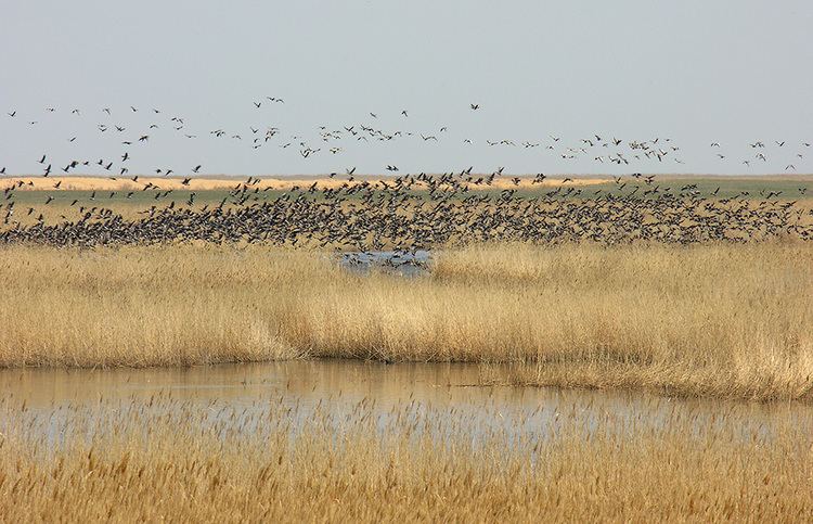
The Kizlyar Bay (Russian: Кизлярский залив) is a bay of the Caspian Sea that cuts 20 km deep into the Republic of Dagestan. The bay is 40 km wide and has a maximum depth of 4 meters. The Tyuleniy Island lies near the entrance to the bay.
Map of Kizlyar Bay, Russia, 368824
The Kuma, Prorva and Talovka rivers discharge into the bay, reducing the salinity to 5 PPT. The Dagestan Nature Reserve covers the entire area of the gulf, including the island of Morskoy Biryuchok. The hinterland is a low and marshy area of wetlands.
If the plans for the proposed Eurasia Canal, linking the Caspian Sea with the Black Sea, are ever implemented, it will likely have the Kizlyar Bay as its eastern end.
References
Kizlyar Bay Wikipedia(Text) CC BY-SA