Vehicle registration KL- | Time zone IST (UTC+5:30) Coastline 0 kilometres (0 mi) | |
 | ||
Cow racing festival kaalapoottu kizhuparamba malappuram kerala p1
Kizhuparamba or Keezhuparamba is a village and Panchayath on the northern boundary of Malappuram District In Kerala State of India.
Contents
- Cow racing festival kaalapoottu kizhuparamba malappuram kerala p1
- Map of Kizhuparamba Kerala
- Coordinates
- Etymology
- Neighboring places and geographical boundaries
- Major locations
- History
- Cultural and Educational Movements
- Educational institutions
- Places of worship
- Other specialities of Kizhuparamba
- Culture
- Transportation
- References
Map of Kizhuparamba, Kerala
Kizhuparamba is situated on the banks of the Chaliyar river and in the border of Malappuram and Kozhikode districts. Kizhuparamba is one of the smallest Panchayaths in Malappuram district.
Kizhuparamba Panchayat was formed on 1 August 1977 from the former Urngattiri Panchayat. It has geographical area of 14.99 km2, which is 0.42 percent of the total area of the Malappuram District.
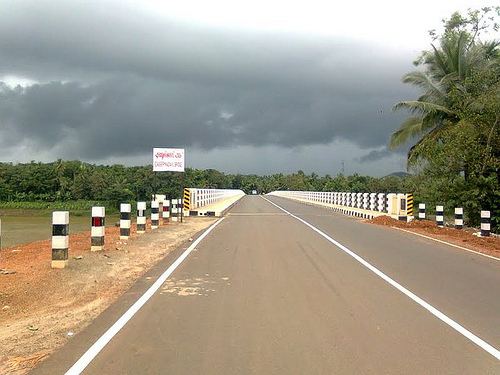
Kerala State Highway (SH) 34 (Koyilandy-Edavanna) passes through Kizhuparamba Village
Coordinates
It is located at the end of Malapuram district.Three parts surrounded by river Chaliyar, A peninsula . Very fertile land, most of the peoples are farmers. Total population around 20,000. Muslim dominated area, above 90% persons are Muslims.
Etymology
The name Kizhuparamba is derived from Keezhparamba which means "Low land" in Malayalam language. "Keezh" means "low" and "Paramba" means "land" .The name is believed to be attributed to the peculiar low geography of majority areas of the village (situated in the valley of many small hills like Thadapparamba, Pazhamparamba and Melapparamba). Some of the areas in the village lies below the monsoon water level of Chaliyar river and gets submerged under river water during monsoon months. Another place in Kizhuparamba village is Kuniyil which also has a similar meaning.
Neighboring places and geographical boundaries
North: Kodiyathur, Cheruvadi, Thottumukkam (Kozhikode District)
South, East and West: Chaliyar River and Cherupuzha(Tributary of Chaliyar near Areacode) Urngattiri, Areacode, Cheekode and Vazhakkad Panchayaths.
Major locations
Kizhuparamba: Kizhuparamba town, Pazhamparamba, Kallingal, Melaparamba, Chalippadam.
Kizhuparamba South:Othupallipuraya, Chankulam, Kadavu
Kuniyil: New Bazar, South Kuniyil(Anvar Nagar), Ariyanipotta(Wadinoor), Kuttooli Junction
Pallikunnu
Thrikkalayoor: Kallittappalam
Valillappuzha
Pathanapuram: Parakkad, Pallippadi Junction, West Pathanapuram
History
It is believed that Tippu Sultan (1782–1799)'s army has used Kizhuparamba in their route from Feroke to Mysore. There was a very old route from Perunkadavu(Kuniyil)-Thrikkalayur-Kodityathur-Thamarassery-Mysore.
Many brave natives of Kizhuparamba had participated in Indian independence movement (the prominent people being P.P Sankaran Master). Kizhuparamba was one of the main centres of the Khilafat movement in 1920s [1].
Cultural and Educational Movements
In the early years of the twentieth century, Muslim movements have contributed to the educational and cultural upbringing of the panchayath. "Vayanasala Prasthanam" (Local Libraries Movement) was deep rooted in Thrikkalayur, Kuniyil,Kizhuparamba and Pathanapuram and developed the political and cultural awareness of the society. The first educational institution in the panchayath was established at Kallingal in 1910 as a primary school.
Educational institutions
High School
Govt. Vocational Higher Secondary School, Kizhuparamba
Primary Schools:
Places of worship
Other specialities of Kizhuparamba
Culture
Kizhuparamba village is as predominantly Muslim populated area. Hindus are exist in comparatively smaller numbers. So the culture of the locality is based upon Muslim traditions. Duff Muttu, Kolkali and Aravanamuttu are common folk arts of this locality. There are many libraries attached to mosques giving a rich source of Islamic studies. Some of the books are written in Arabi-Malayalam which is a version of the Malayalam language written in Arabic script. People gather in mosques for the evening prayer and continue to sit there after the prayers discussing social and cultural issues. Business and family issues are also sorted out during these evening meetings. The Hindu minority of this area keeps their rich traditions by celebrating various festivals in their temples. Hindu rituals are done here with a regular devotion like other parts of Kerala.
Transportation
Kizhuparamba village connects to other parts of India through Feroke town on the west and Nilambur town on the east. National highway No.66 passes through Pulikkal and the northern stretch connects to Goa and Mumbai. The southern stretch connects to Cochin and Trivandrum. State Highway No.28 starts from Nilambur and connects to Ooty, Mysore and Bangalore through Highways.12,29 and 181. The nearest airport is at Kozhikode. The nearest major railway station is at Feroke.
