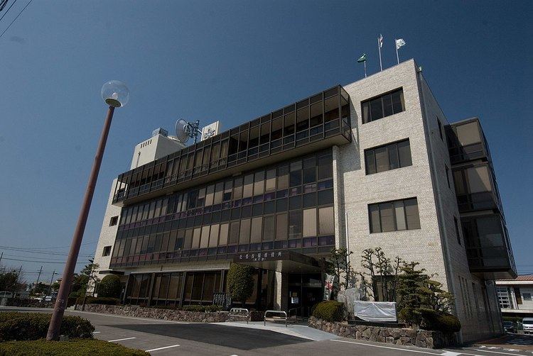
Country Japan Phone number 0568-22-1111 Population 83,877 (May 2015) | Area 18.37 km² Local time Thursday 6:59 AM | |
 | ||
Weather 3°C, Wind N at 21 km/h, 85% Humidity | ||
Kitanagoya (北名古屋市, Kitanagoya-shi) is a city located in Aichi Prefecture, Japan.
Contents
- Map of Kitanagoya Aichi Prefecture Japan
- Geography
- Surrounding municipalities
- History
- Railways
- Highways
- Education
- Sister city relations
- Notable people from Kitanagoya
- References
Map of Kitanagoya, Aichi Prefecture, Japan
As of May 2015, the city had an estimated population of 83,877 and a population density of 4,570 persons per km². The total area was 19.37 square kilometres (7.48 sq mi).
Geography
Kitanagoya is located in the northwest region of Aichi Prefecture. The city lies within a 10 kilometers range of downtown Nagoya and is relatively small. The city is about 6 kilometers from east to west, and about 4 kilometers from north to south; an area of 18.37 km².
The city is located in the heart of Nobi Plain, approximately five meters above sea level. There are numerous rivers, including the Gojo River, Shin River, and Aise River, which create a natural biosphere.
Due to the warm weather throughout the year, agriculture is highly developed, using the productive fertile soil and land with an alluvial fan created by Kiso and Shonai River.
Surrounding municipalities
History
The area of present-day Kitanagoya was part of rural Nishikasugai District, Aichi from 1889. The area began to develop in the Taishō period with the development of the Meitetsu Inuyama train line. The town of Shikatsu was created on April 1, 1961, followed by Nishiharu on November 1, 1963 as the population increased due to increasing industrialization of the area. The two towns were merged to create the city of Kitanagoya on March 20, 2006.
