
Country Uganda Elevation 1,420 m | Local time Thursday 12:43 AM | |
 | ||
Weather 18°C, Wind S at 3 km/h, 85% Humidity | ||
Kitagata is a town in Western Uganda. It is one of the urban centers in Sheema District.
Contents
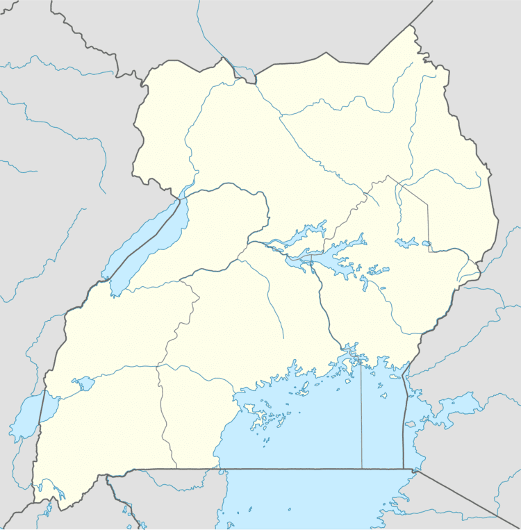
Map of Kitagata, Uganda
Location
Kitagata is located in Sheema County South, Sheema District, in Western Uganda. The town lies on the Ishaka–Kagamba Road, approximately 17 kilometres (11 mi), south of Ishaka, Bushenyi District, the nearest large town. This lies approximately 62 kilometres (39 mi), southwest of Mbarara, Mbarara District, the largest city in the sub-region. The coordinates of Kitagata are:0° 40' 21.00"S, 30° 9' 18.00"E (Latitude:-0.672499; Longitude:30.154991).
Points of interest
References
Kitagata, Uganda Wikipedia(Text) CC BY-SA