Rahul Sharma (Editor)

Kitagata, Uganda

Updated on
Edit
Like
Comment
Share on FacebookTweet on TwitterShare on LinkedInShare on Reddit
Country
  
Uganda

Sub-region
  
Ankole sub-region

Elevation
  
1,420 m

Region
  
Western Uganda

District
  
Sheema District

Local time
  
Thursday 12:43 AM

Kitagata, Uganda

Weather
  
18°C, Wind S at 3 km/h, 85% Humidity


Kitagata is a town in Western Uganda. It is one of the urban centers in Sheema District.

Contents

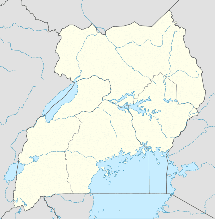
Map of Kitagata, Uganda

Location

Kitagata is located in Sheema County South, Sheema District, in Western Uganda. The town lies on the Ishaka–Kagamba Road, approximately 17 kilometres (11 mi), south of Ishaka, Bushenyi District, the nearest large town. This lies approximately 62 kilometres (39 mi), southwest of Mbarara, Mbarara District, the largest city in the sub-region. The coordinates of Kitagata are:0° 40' 21.00"S, 30° 9' 18.00"E (Latitude:-0.672499; Longitude:30.154991).

Points of interest

  • The offices of Kitagata Town Council
  • Kitagata Central Market
  • The Ishaka-Kagamba Road - The highway passes through the center of town in a north-south direction.
  • Kitagata General Hospital - A public 120-bed hospital administered by the Uganda Ministry of Health, located on the Kitagata-Rukungiri Road, just west of the center of town.
  • Kitagata Secondary School - A public, mixed, non-residential secondary school (S1 - S6)
  • Kitagata Hot Springs - Located approximately 1 kilometre (0.62 mi) from the town center, they are two adjacent hot springs Ekyomugabe and Mulago, with water temperatures as hot as 80 °C (176 °F)
  • References

    Kitagata, Uganda Wikipedia