
City Niigata Population 75,990 (1 Jun 2016) | Prefecture Niigata Area 107.7 km² Local time Thursday 6:34 AM | |
 | ||
Address 3197 Kuzutsuka, Kita-ku, Niigata-shi, Niigata 950-3393 Weather 4°C, Wind NW at 18 km/h, 72% Humidity Points of interest Aganogawafureai Park, Nigorikawa Park, Niigatashi Kitaku Kyodo M, Shirakaba Park | ||
Kita-ku (北区, Kita-ku) is one of the eight wards of Niigata City, Niigata Prefecture, in the Hokuriku region of Japan. As of 1 June 2016, the ward had an estimated population of 75,990 and a population density of 705 persons per km². Its total area was 107.72 square kilometres (41.59 sq mi).
Contents
- Map of Kita Ward Niigata Niigata Prefecture Japan
- Geography
- Surrounding municipalities
- History
- University
- Primary and secondary education
- Railway
- Transit bus
- Highways
- Places
- References
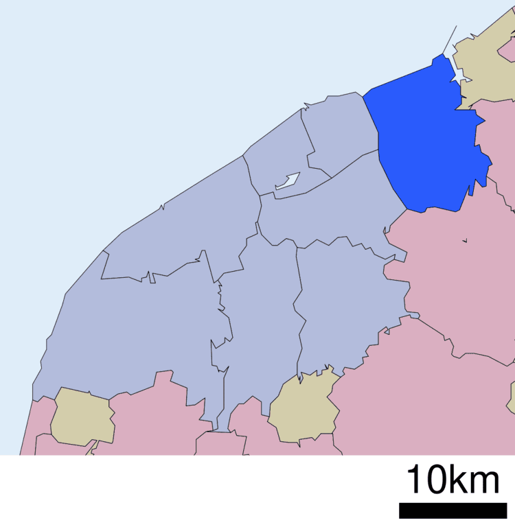
Map of Kita Ward, Niigata, Niigata Prefecture, Japan
Geography
Kita-ku is located in north-east Niigata city, and is bordered by the Sea of Japan to the north.
Surrounding municipalities
History
The area of present-day Kita-ku was part of ancient Echigo Province. The village of Kuzudzuka was established on April 1, 1889 within Kitakanbara District, Niigata with the establishment of the municipalities system, and was raised to town status on November 1, 1901. It was renamed Toyosaka on March 31, 1955 and was elevated to city status on November 1, 1970. The city of Niigata annexed Toyosaka on March 21, 2005. Niigata became a government-designated city on April 1, 2007 and was divided into wards, with former Toyosaka becoming part of the new Kita Ward along with a coastal section of the former Niigata city.
University
Primary and secondary education
Kita-ku has 13 public elementary schools and eight public middle schools. The ward has one public high school operated by the Niigata Prefectural Board of Education and one private high school.