
Area 265 km² | Time zone BST (UTC+6) | |
 | ||
Website Official Map of Kishoreganj | ||
Kishoreganj (Bengali: কিশোরগঞ্জ) is an Upazila of Nilphamari District in the Division of Rangpur, Bangladesh.
Contents
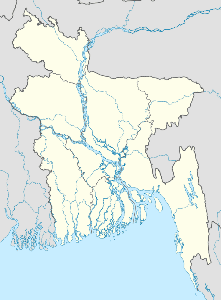
Map of Kishoreganj Upazila, Bangladesh
History
This was named by the name of prince Kishore Chandro(Son of Horish Chandro,1800-1900).Kishorganj was known for Nil cultivation under British rulings. It was part Rangpur District and then separated 1983 into Niphamri.
Geography
Kishoreganj is located at 25.9111°N 89.0250°E / 25.9111; 89.0250 . It has 52000 households and total area 264.98 km².
Demographics
As of the 1991 Bangladesh census, Kishoreganj has a population of 246201. Males constitute are 51.19% of the population, and females 48.81%. This Upazila's eighteen up population is 122233. Kishoreganj has an average literacy rate of 18.2% (7+ years), and the national average of 32.4% literate.
Economy
The fertile land of kishoreganj produces mainly potato, rice, ginger and corn. The seasons first Potato harvest happens here and transported to all main cities at the beginning of December
Administration
Kishoreganj has 11 Unions/Wards, 71 Mauzas/Mahallas, and 72 villages.