
OS grid reference NZ015775 Sovereign state United Kingdom Local time Tuesday 6:13 PM | Unitary authority Postcode district NE19 Dialling code 01830 Post town Newcastle upon Tyne | |
 | ||
Weather 9°C, Wind W at 26 km/h, 68% Humidity | ||
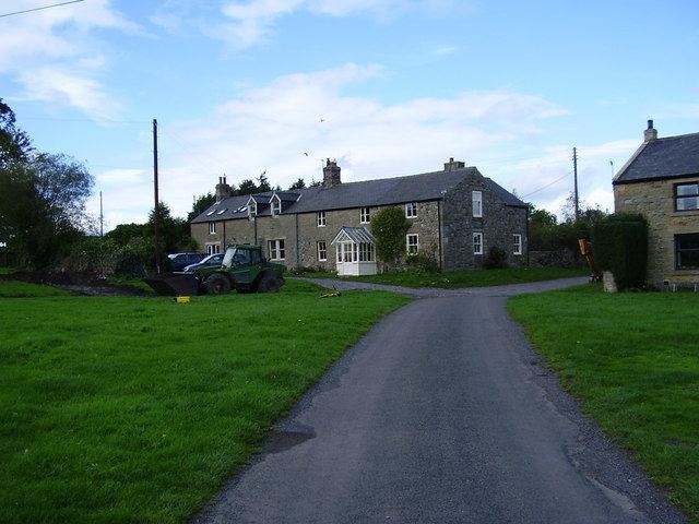
Kirkheaton is a village in Northumberland, England. The village lies about 10 miles (16 km) north east of Hexham and about 5 miles (8 km) west of Belsay.
Contents
Map of Kirkheaton, Newcastle upon Tyne, UK
Governance
Kirkheaton is in the parliamentary constituency of Hexham.
Landmarks
Kirkheaton has a Pele tower.
The Devil's Causeway passes the village just over 1 mile (2 km) to the east. The causeway is a Roman road which starts at Port Gate on Hadrian's Wall, north of Corbridge, and extends 55 miles (89 km) northwards across Northumberland to the mouth of the River Tweed at Berwick-upon-Tweed.
Religious sites
The church is dedicated to St Bartholomew. The chapel was rebuilt in 1775, at the expense of Mrs. H. D. Windsor, at that time lady of the manor.
References
Kirkheaton, Northumberland Wikipedia(Text) CC BY-SA