Admin. region Unterfranken Municipal assoc. Ebelsbach Area 16.92 km² Population 1,395 (31 Dec 2008) | Elevation 344 m (1,129 ft) Local time Tuesday 5:50 PM Postal code 96166 | |
 | ||
Weather 12°C, Wind W at 13 km/h, 49% Humidity | ||
Kirchlauter is a municipality in the Bavarian Administrative Region of Lower Franconia in the district of Haßberge in Germany. It is a part of the Verwaltungsgemeinde of Ebelsbach.
Contents
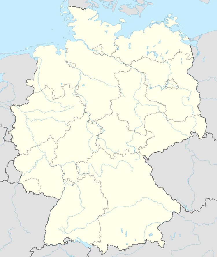
Map of 96166 Kirchlauter, Germany
Geography
Kirchlauter lies in the Main-Rhön Region (Bavarian Planungsregion 3)
It consists of the following boroughs: Kirchlauter, Neubrunn, and Pettstadt.
History
The municipality was first documented on 30 December 1145. Kirchlauter belonged to the manor of the Barons (Freiherren) of Guttenberg. Traditionally part of Bavaria, in 1810 it became a part of the Grand Duchy of Würzburg, with which it became part of Bavaria for the final time in 1814.
Politics
The Municipal Council of Kirchlauter is made up of 13 councilmen, including the town's mayor, Jochen Steppert (CSU).
The mandate assignments in the Municipal Council are CSU 7, SPD 4, Junge Liste 1, and Free Voters 1.
