
Vehicle registration HAS Population 86,322 (30 Jun 2008) Administrative region Lower Franconia | Time zone CET (UTC+1) Website landkreis-hassberge.de | |
 | ||
Points of interest Altenstein Castle, Hexenturm, Schloss Oberschwappach, Lichtenstein Castle, Burg Königsberg Destinations | ||
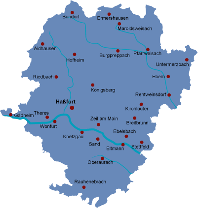
Haßberge is a district in Bavaria, Germany. It is bounded by (from the northeast and clockwise) the districts of Coburg, Bamberg, Schweinfurt and Rhön-Grabfeld, and by the state of Thuringia (district of Hildburghausen).
Contents
Map of Ha%C3%9Fberge, Germany
History
The district was established in 1972 by merging the districts of Haßfurt, Ebern and Hofheim.
Geography
The district is named after the Haßberge hill chain, which is located south of the Thuringian border. It is an eastern extension of the Rhön mountains and densely forested. South of the hills the Main river crosses the district from east to west. South of the river there is the Steigerwald forest, whose northern parts belong to the district. Both the Haßberge hills and the Steigerwald are nature parks.
References
Haßberge (district) Wikipedia(Text) CC BY-SA